Benahavis – Malaga

Benahavis

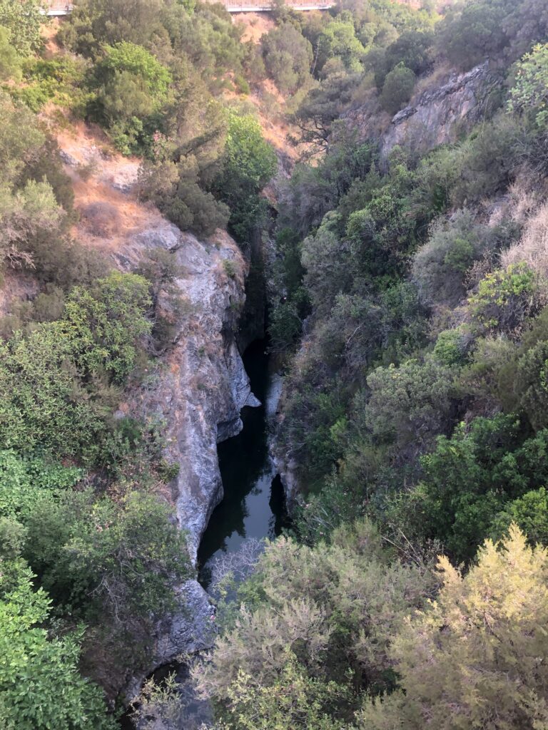
Start at the “Acequia trail Guadalmina” a wooden bridge across the Guadalmina river or “Angosturas” canyon. The bridge is located roughly a 1km from Benahavis village.

Route and Elevation

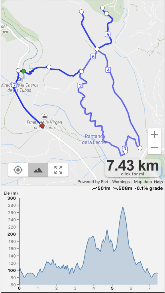
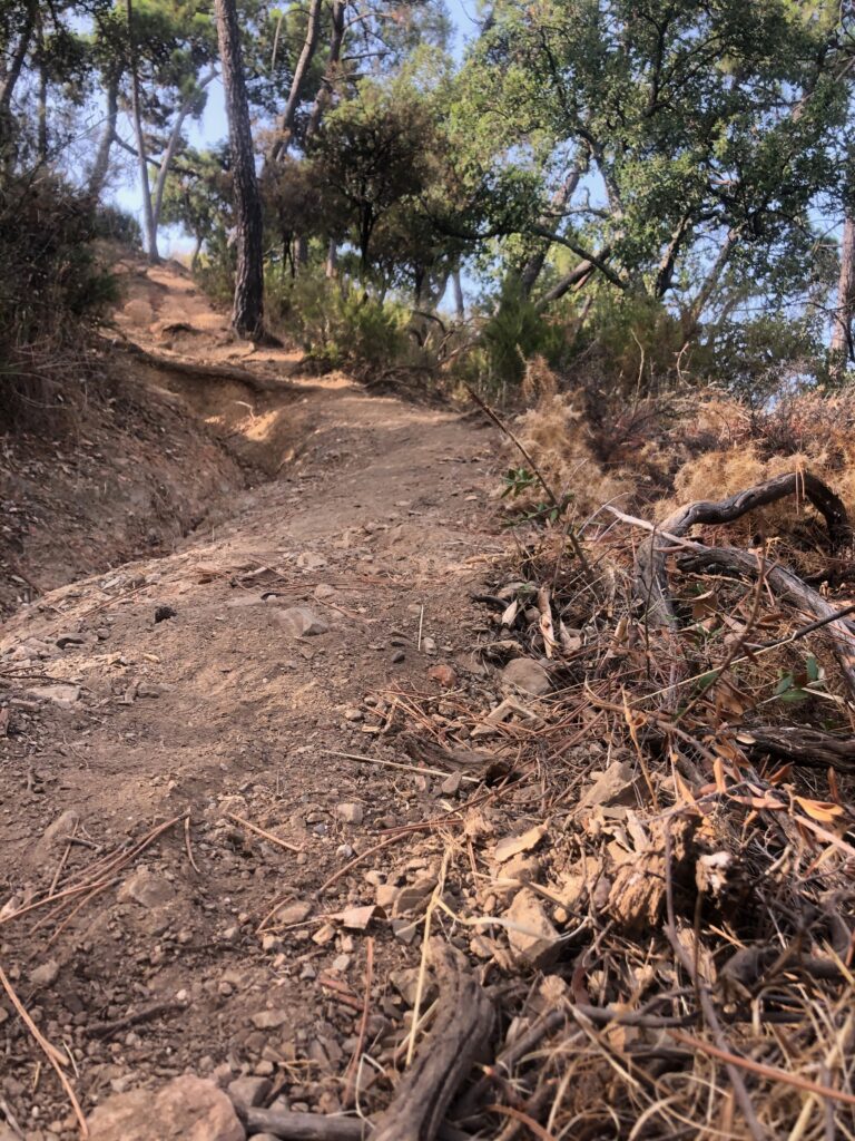
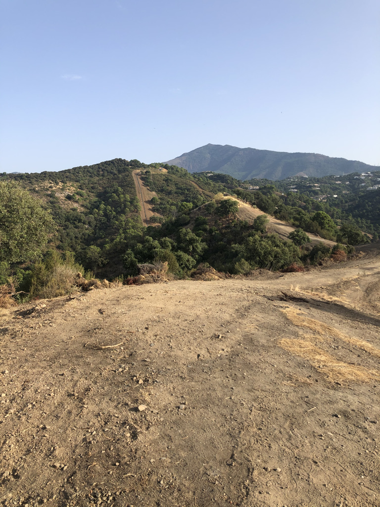
Following the trail up the hill once across the bridge you come to a dust trail that runs alongside a water irrigation channel. The run is along a fully conditioned path with wooden posts for anti-fall protection. To start with the trail is mostly flat with some ups and downs here and there which is very good for a warm up as there is a steep climb between points 3 & 4 on the route map.

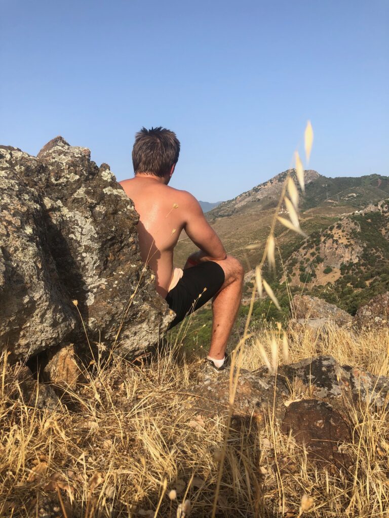
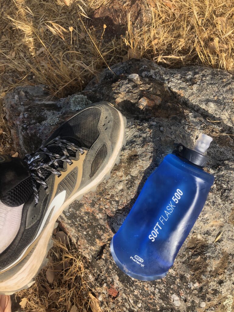
I ran this route in July, one of the hottest months in this part of the world, make sure you take water with you. I use Kalenji Soft Flask 500ml from Decathlon (see image at the bottom of this post)

Guadalmina river
Up the dust track
Thorns along the way
Benahavis - rock on the road
Dusty Track Road with constant ups and downs
selfie along the way
Quick selfie on the side of the road
Drink plenty of water when running in hot conditions

Tenerife – Teide national park

Route and Elevation

Complexity: Hard

Distance: 8.15 km

Duration: 1h 30 min

Elevation: 900m

For this run, I chose mount Teide as my target. To start I drove to the foot of Mount Teide and parked on the side of ‘Carretera del Teide’ road (the next bend after the left turn for Telefico del Teide). According to the map there is a narrow pathway leading from the road ‘Carretera del Teide’ up to the peak. I, however was not able to find that path and had to ‘brute-force’ my way up the mountain. The terrain here is treacherous with large loose boulders constantly slipping from under your feet as you run up, risking getting your leg trapped or twisted or worse broken. It was morning (about 9am) and it was still quite chilly, but sweat was pouring as if it was +40. I (somewhat foolishly) did not take any water nor energy bars with me. I have to admit that about 45 mins in I was starting to have doubts about making it back in one piece and that I should give up and turn back. About an hour in some sort of resemblance of the path appeared, terrain levelled out and I’ve reached a plato and saw a path where I could finally speed up. This led to a cross-road with a sign on it, where I met Juan a fellow Spanish off-road runner. When I showed him the map where I started the ascend and told him that I was aiming for the peak and when he saw that I had no water or snack with me, he just shook his head and turned a finger at his temple in dismay and my stupidity. He offered me a bar of his chocolate and a sip from his water bottle. I thanked him and ran on.

This is the part of the ascend where I am not sure if I should turn back or keep going
View from the side of the mountain
You can just about make out my white car on the side of the road
Further up, hardest part is behind me, now the terrain levels out somewhat
I can see a path… now I can speed up
At the cross-road sign. Refugio de Altavista became my new destination point
Third of the way up
Three quarters of the way up – cross roads sign is down there somewhere
Almost there at 3,2k meters above sea level 🙂
Selfie at the final destination
Refugio de Altavista. You can rent a room here
Quick panorama on my way down